Nato Science for Peace – Project SFP 983142
Coordinators:
D. Rust, University of Portsmouth, United Kingdom
A. Tibaldi, University of Milan Bicocca, Italy
A. Korjenkov, Inst. Communication Information Technologies, Kyrgyzstan
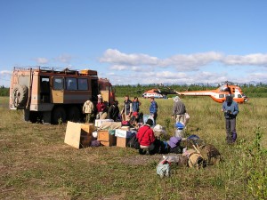
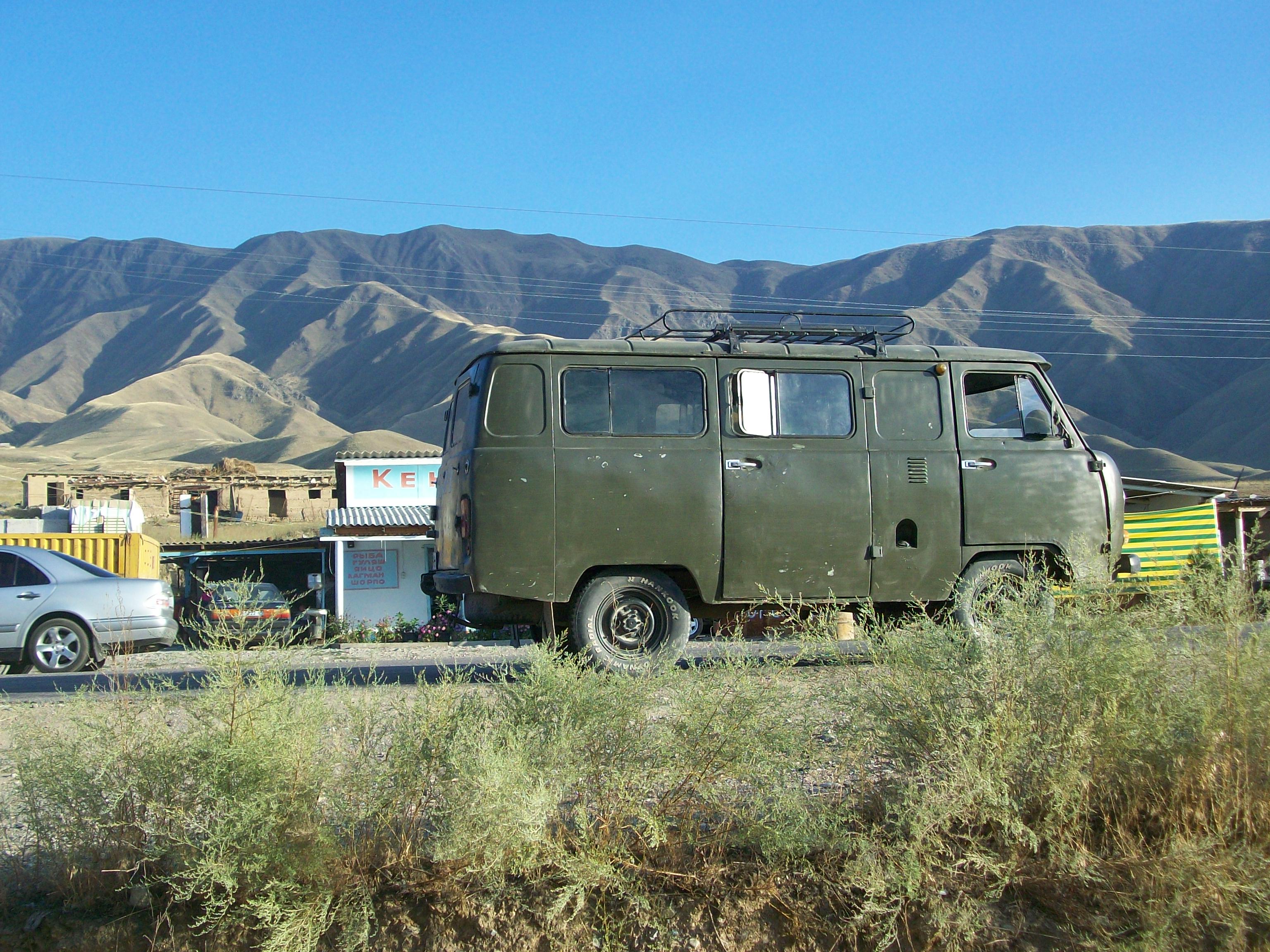
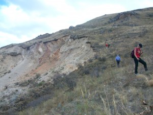
More than 10 millions people from Kyrgyzstan, Uzbekistan, Tajikistan, Kazakhstan and Russia are dependant for energy and water supply from the 1200 MW Toktogul hydroelectric scheme, located in Kyrgyzstan. It is vital for the economic and agricultural stability of the countries it serves. The Toktogul dam reservoir (19.5 cubic kilometers, the key element in the scheme) has been recently discovered to be located along the active hundreds-km-long Talas-Fergana transcurrent fault. Moreover, on the Naryn-Syrdariya valley bottom downhill from the scheme there are several dump deposits of radioactive and toxic wastes. Most of the giant Toktogul reservoir is surrounded by steep slopes made of densely fractured metamorphic rocks covered by poorly-consolidated Quaternary deposits, whose stability has never been quantitatively assessed. We are particularly concerned about the possibility of huge landsliding into the reservoir triggered by an earthquake, heavy rains, or their combination, with the potential for water overflooding. With the present project we assessed in an interdisciplinary way the whole geo-environmental impacts and potential threats to the hydroelectric scheme, comprising the evaluation of seismic, landslide and flooding hazard in the area.
Understanding the nature, location and recurrence patterns of threats to the environmental security of this region, as well as ways of mitigating against these threats, is crucial to planning and ensuring continued economic development and political stability.

University web address: http://www.mtu.edu/geo/
Researchers from the Department of Geological & Mining Engineering & Sciences at Michigan Technological University will participate in the proposed project. Michigan Tech was founded in 1885 has evolved into a nationally ranked, doctoral-granting institution of higher education specializing in science, technology, engineering and mathematical fields. US News & World Report’s 2013 ratings place Michigan Tech in the top tier of national universities and 58th among public, national universities. Approximately 95% of our students have jobs in their chosen field, enroll in graduate school, or enlist in the military by the time they graduate. More than 350 companies recruit on campus annually. Michigan Tech has the nation’s largest Peace Corps Master’s International program. It hosts 2 colleges and 3 schools, 23 departments, and 22 Research and Academic Centers and Institutes.
The Department of Geological and Mining Engineering and Sciences at Michigan Tech houses strong and varied expertise in remote sensing of geological hazards and modelling earth processes (hydrology, geotechnics, etc.). The Department has 11 tenured and tenure-track professors and is the only geoscience department in the U.S. that includes geology with geological engineering and geophysics. The department hosts 70 graduate students and 80 undergraduate students among these three majors. The main focus is on natural hazard assessment and mitigation, which are performed in close collaboration with a large number of other national and international institutions worldwide. Dr. Gierke was a project director for Michigan Tech’s first Partnership in International Research and Education (PIRE) program of the U.S. National Science Foundation. The Michigan Tech PIRE project worked with hazard mitigation agencies and universities if five countries in Latin America. The department is also host to the only Peace Corps Masters International program in Natural Hazard Mitigation, a partnership with the U.S. Peace Corps, where students simultaneously pursue an M.S. degree while also serving as volunteers in the U.S. Peace Corps. The department’s interactions with the lead institution in Italy for this project are facilitated through a multiyear exchange program. The specific expertise for this project include: (1) remote sensing, (2) hydrological modeling, and (3) slope stability assessment.
University web address: www.unimib.it
Department web address: http://www.disat.unimib.it
University of Milan-Bicocca Dating Center: http://cudam.mater.unimib.it/index.htm
The present project involves the Department of Earth and Environmental Sciences, and the “University of Milan-Bicocca Dating Center”, both hosted at the University of Milan Bicocca (UNIMIB). These two institutes and the UNIMIB in general are characterised by an intellectual environment where independent research can be carried out. UNIMIB was funded in 1998 as a modern multidisciplinary campus, nowadays a focal point for over 30,000 students and 1500 researchers and lecturers. It currently is ranked at the 21st position in the world among the universities that are younger than 50 years. It hosts 8 Faculties, 21 Research Departments, and one Medical School.
The Department of Earth and Environmental Sciences focuses on a multidisciplinary approach to Earth Sciences with a special emphasis on recent and active processes and their effects on the territory. Most of that focus has centered on natural hazard assessment and mitigation, which are conducted in close collaboration with a large number of other national and international institutions worldwide. This is reflected both in research as well as in teaching, which also benefits from a large number of visiting professors, lecturers and students. Among the topics and related lines of research developed within the Department, the most relevant in terms of the proposed research are: (1) structural geology; (2) geologic and geomorphological evolution of mountain belts; (3) hazard scenarios related to earthquakes, floods, landslide, coastal erosion; (4) environmental monitoring and geophysics, (5) application of GIS techniques for modern cartography; (6) neotectonics and paleoseismology; (7) engineering geology for mitigation strategies. The Department has 28 full tenure track professors and researchers, plus 9 non-tenure researchers, who have at disposal 29 laboratories dedicated to the study of all Earth science disciplines, ranging from electronic microanalyses to marine geology.
The University of Milan-Bicocca Dating Center has at its disposal all key facilities for dating rocks and deposits by way of different techniques including C14, AMS (connected with physical centre of Florence University), Optically-stimulated luminescence, Thermo-luminescence, Ar/Ar, K/Ar, Dendrochronology
University web address: www.ig-geophysics.ge
The Institute of Geophysics is one of the leading Earth Sciences research centers in Georgia, founded more than eighty years ago with its headquarters in Tbilisi. Seventy scientists are working there on nine major topics in Solid Earth Physics and Physics of Atmosphere. One of the main topics of the institute is Seismology, Seismic hazard and Disasters risks.
The IGTSU carries out studies dealing with disaster risk reduction that include: general seismic hazard and risk assessment; special seismic zoning related to infrastructures such as roads, pipelines, construction areas, dams, etc.; induced seismicity; creation of databases for geo-hazard in Georgia (12 types of hazard among which earthquakes, landslides, avalanches, debris flows, hail, storms, floods and flash-floods, etc.); modelling of marine ecological systems; atmosphere pollution; climate change; geo-dynamic monitoring of the Enguri High Arc Dam; surface and underground water pollution; field and laboratory measurements of water pollution; geophysical methods aimed at the assessment of geo-morphological hazards (landslides, debris flows).
The IGTSU has been a main partner in large projects (GSHAP, EMME), dealing with the assessment of geohazards at the global and regional scale. The IGTSU has also been a partner in several international projects, funded by INTAS, NATO, ISTC, INCO-COPERNICUS, related to seismic hazard and risk assessment, compilation of regional seismic information network, modeling of physical processes related to earthquakes, study of seismic precursors, stress-related geohazards at Caucasus, etc.
The IGTSU holds close cooperation links with many institutions abroad. The institute publishes the Journal of the Georgian Geophysical Society (in English, two issues per year).
University web address: http://www.science.gov.az/en/geology/index.htm
The Geology Institute of Azerbaijan (GIA) was funded in 1938 and now it is the largest scientific institution in the Azerbaijan National Academy of Sciences (ANAS) wholly occupied with fundamental research, as well as applied development in various fields of geology, geophysics, geochemistry, ecogeology and other Earth sciences. There are 24 research departments & 2 laboratories, a Natural-History Museum, the Centre of geodynamic research & seismic monitoring (formed in 2003 by CRDF grant support , USA), a National Data Centre (formed in 2002 within Comprehensive Nuclear Test-Ban-Treaty Organization ratified by Azerbaijan on the 2nd February, 1999), as well as 13 functional subdivisions of scientific service in the Institute structure. The staff at the Institute is composed of over 267 scientists, among whom over 157 Ph.D & Dr.Sc., 4-full members & 9-associate members of ANAS. The Geology Institute of the Azerbaijan National Academy of Sciences (ANAS) houses strong and varied expertise in remote sensing of geological hazards and modelling Earth processes (geodynamics, hydrology, geotechnics, etc.). Generally, at the moment, the Institute has become the major scientific institute of ANAS, fully engaged in fundamental and applied research in the field of Earth Sciences. Since its establishment in 1938, some laboratories and departments of the Institute of Geology have been devoting their research to the study of physics and dynamics of mud volcanoes on the Absheron peninsula and have looked into the manifestation and perturbations processes. In 2010, the number of outstanding scientists specialized in the field of mud volcanism were awarded the State Prize of the Azerbaijan Republic by the President of Azerbaijan for the series of contributions titled «Mud volcanism, oil and gas content in the South Caspian Basin».
In regard to the present project, most of the research at the Geology Institute of Azerbaijan is focused on related topics such as: GPS surveying of Azerbaijan, recent kinematics and dynamics of Caucasus and Caspian regions, gravity mapping and numerical analyses gravity data, experimental studies of the tidal and non-tidal variations of the gravitational field, gravity model of Earth’s crust of the Caucasus region and the South Caspian Basin, spatial-temporal characterization of seismicity and seismic hazard assessment of Azerbaijan, fractal properties of spatial distributions of earthquakes and active faults; focal mechanism analysis and stress state evaluation of Caucasus, engineering seismology and geodynamics, microgravity and microtremor measurements.
University web address: www.kineu.kz
Kostanay Engineering Economic University, named after Mirzhakip Dulatov, was founded in 2007. The university has more than 8000 Bsc and Master students who study at ten Departments grouped into five Faculties. The university also hosts: the International Cooperation Department, the Department of Public Relations, the Computer Center, the Business Support Center, the Science and Technology Center, and the Training Center of Kazakh language. The university has 23 Bachelor programs and two Master specialties (scientific and pedagogical).
Research carried out by the various Departments mirrors the subject areas listed in KazGosNTI (№ 01.07RK00163) and aim to provide scientific and methodological assistance to business entities of all forms of ownership, skills development and PPP level of teaching embodied subjects. In particular, the university takes an active part in public tenders for public procurement of services for legal and methodological support of the development of Agro-industries, Water affairs and Forestry, Ministry of Agriculture of the Republic of Kazakhstan. The University provides services for standards development, regulations and guidelines for development of the Social and Engineering infrastructure, Ecological safety and Environment protection on the theme «Development of engineering standards of alternative energy sources».
In regard to this NATO project, the Kostanay Engineering Economic University will contribute with its special organization that is committed to merging economical expertise with scientific-technological skills. More in detail, the topic of geohazards at energy infrastructures is a problem that comprises both the aspects of scientific investigations to quantify the effectiveness of geohazards, as well as all the economic aspects related to remediation measures and the possible decrease of efficiency of the energy facility, or even interruption of the energy production. For these reasons we believe that our multidisciplinary departments are the best source of skilled personnel useful for this interesting NATO project.
Kostanay Engineering Economical University has been participating in TEMPUS IV 511347-TEMPUS-1-2010-1-DE-TEMPUS-JPCR “Development and implementation of blended-learning bachelor specialty “Energy management” in universities of Kazakhstan and Turkmenistan”. Since December 2013 the university has been taking part in the project 544601-TEMPUS-1-2013-1-DE-TEMPUS-SMGR Introduction of Quality Management in e-learning at the Central Asian universities (QAMEL).
University SEES web address http://www.port.ac.uk/school-of-earth-and-environmental-sciences/
Centre for Applied Geoscience: http://www.port.ac.uk/school-of-earth-and-environmental-sciences/research/centre-for-applied-geoscience/
The proposed project aligns with the strong research ethos within SEES, as well as coinciding with the applied research emphasis of the Centre for Applied Geoscience (CAG), a grouping within SEES. CAG is the only such centre in the UK, one of only two in Europe, and comprises the largest team of applied geoscientists in UK academia. SEES has a published research strategy to promote existing internal centres of research excellence, such as CAG, as well as international research collaboration. In the past five years this strategy has brought about an increase in post-doctoral researchers from 5 to 11, an increase to > £3M in external research income, and an increase to 41 in the number of PhD students. More than 70% of submitted publications have overseas co-authors. Academic staff number 24, with 13 support staff. The School has a newly commissioned XRF, laser ablation ICP-MS, full mineral separation and rock crushing facilities, SEM-EDX, XRD and AAS. Significant recent financial investment relevant to the proposal includes £425k for a state-of-the-art rock mechanics laboratory. All staff and facilities are housed within a single building, creating a dynamic and stimulating academic environment. The University itself http://www.port.ac.uk/ has been awarded the European Commission Human Resources Excellence in Research Award, and has again been ranked within the top 400 universities worldwide by the Times Educational Supplement, which also identified UoP as the leading modern university in the UK. CAG has a strong commitment to geological hazard research, and we have several scientists with a high skill on landslide, tsunami, structural and paleoseismology studies, among other.
NATO Collaborative Linkage Grant – Project CLG 978989
Project Coordinator:
Alessandro Tibaldi – University of Milan-Bicocca, Italy.
Other Principal Investigators:
Ponomareva Vera – Institute of Volcanic Geology and Geochemistry; Far East Division, Russian Academy of Sciences;
Kyle Philip Raymond – New Mexico Institute of Mining and Technology, USA;
Lees Jonathan M. – Dept. of Geological Sciences, University of North Carolina, USA;
Kozhurin Andrei Ivan – Geological Institute, Moscow, Russia.
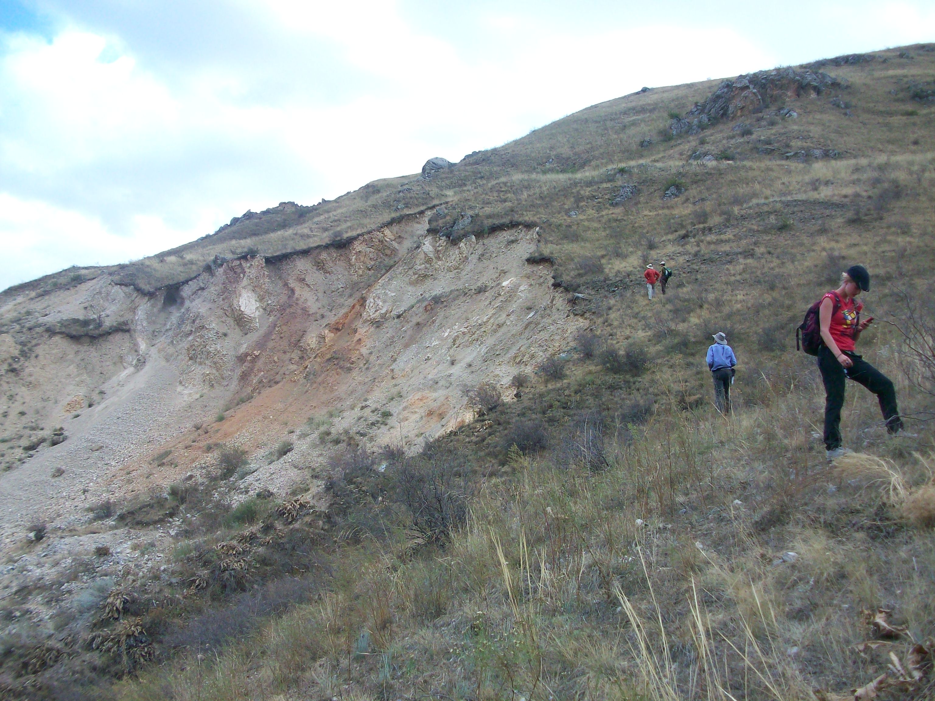
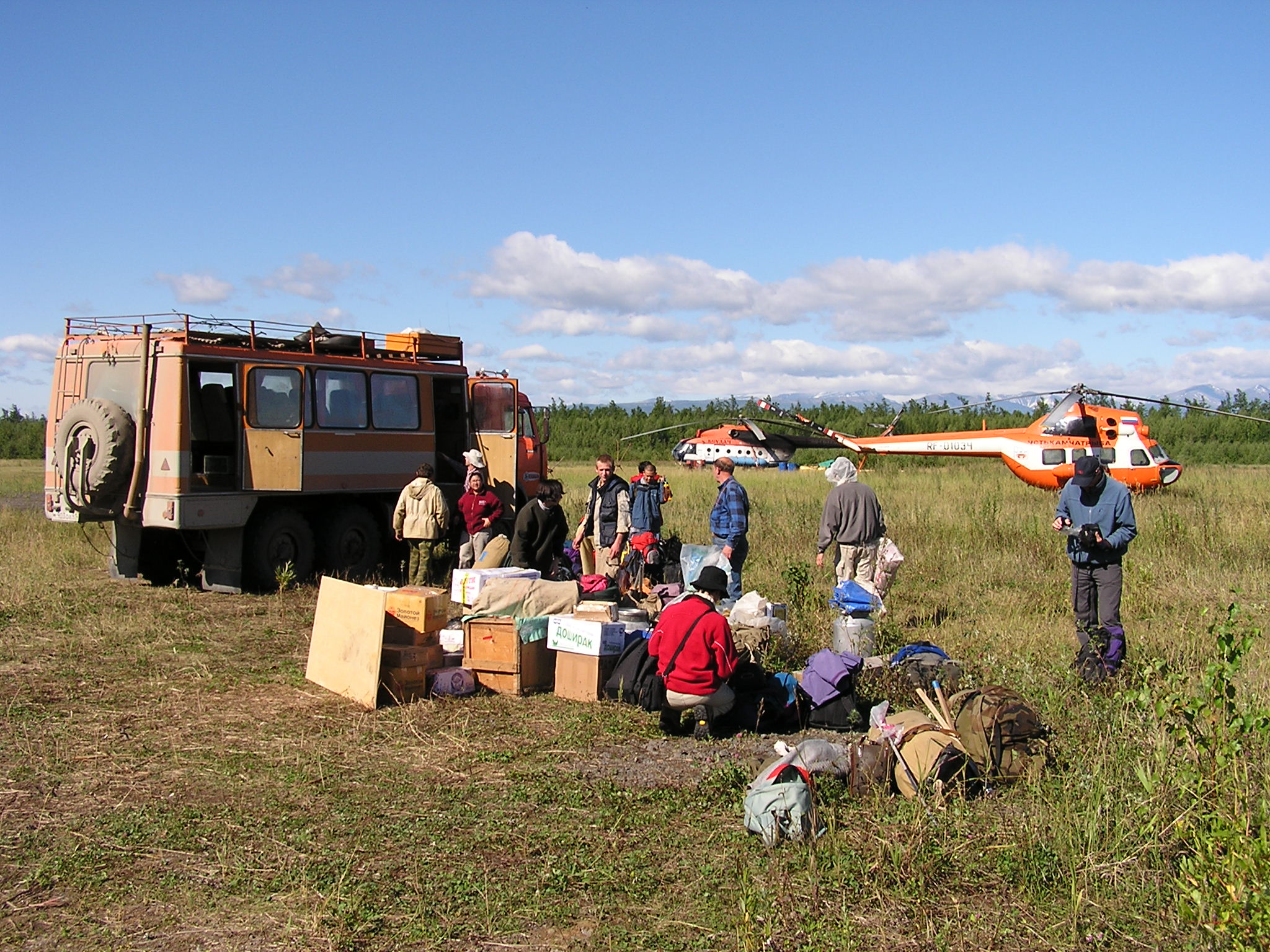
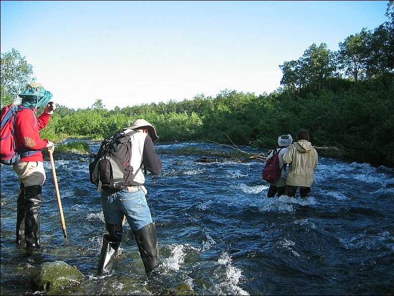
This multidisciplinary joint Russian-US-Italian effort was aimed at understanding the relationship of eruptive activity with major tectonic earthquakes and climate change in subduction-related volcanic arcs, identifying patterns in volcano dynamics and forecasting future significant eruptions with examples from the Kamchatka (Russia) and Aeolian (Italy) arcs. Long-term field experience, extensive data sets, and knowledge on surveillance systems were shared among the participants. We tested hypotheses on the correlation of major tectonic events with volcanism and climate, on their clustering in time and space and the implications these have for volcanic hazard assessment in subduction zones at the global level. We compared our data of Holocene paleo-volcanic and paleoseismic records obtained through field stratigraphic, structural, volcanological and geomorphological surveys and laboratory dating of buried paleosoils. Historical data focused on eruptions, volcanic collapses, and seismicity from international and local networks. Comparison was also made with other records: sea level changes, climate and vegetation changes, non-volcanic landslides, and tsunami occurrence, with the purpose of looking into correlations between major events. Our work had major impacts in terms of the volcanic, seismic, landslide and tsunami hazard assessment, providing a framework for similar studies in a variety of subduction-related areas around the world.