


From Deep Earth to Surface processes and sustainability:
integrating lithosphere dynamics with rift basins and margins.
A joint meeting of the TOPO-EUROPE Programme and ILP Task Forces Sedimentary Basins (VI), Subducted Lithosphere (IV), Volcanoes and Society (II).
Clermont-Ferrand, 2-6 October 2016.
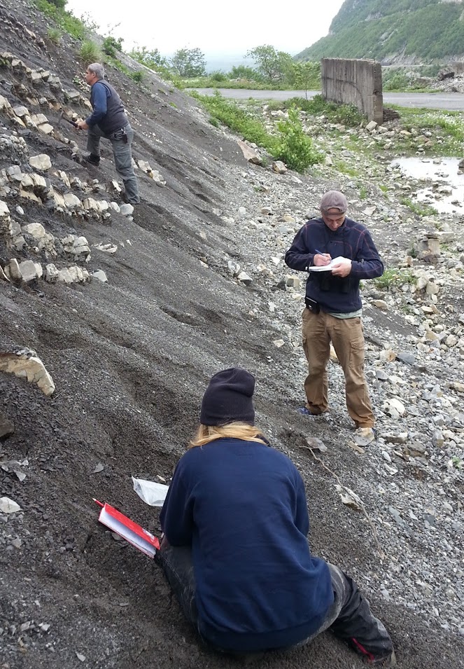
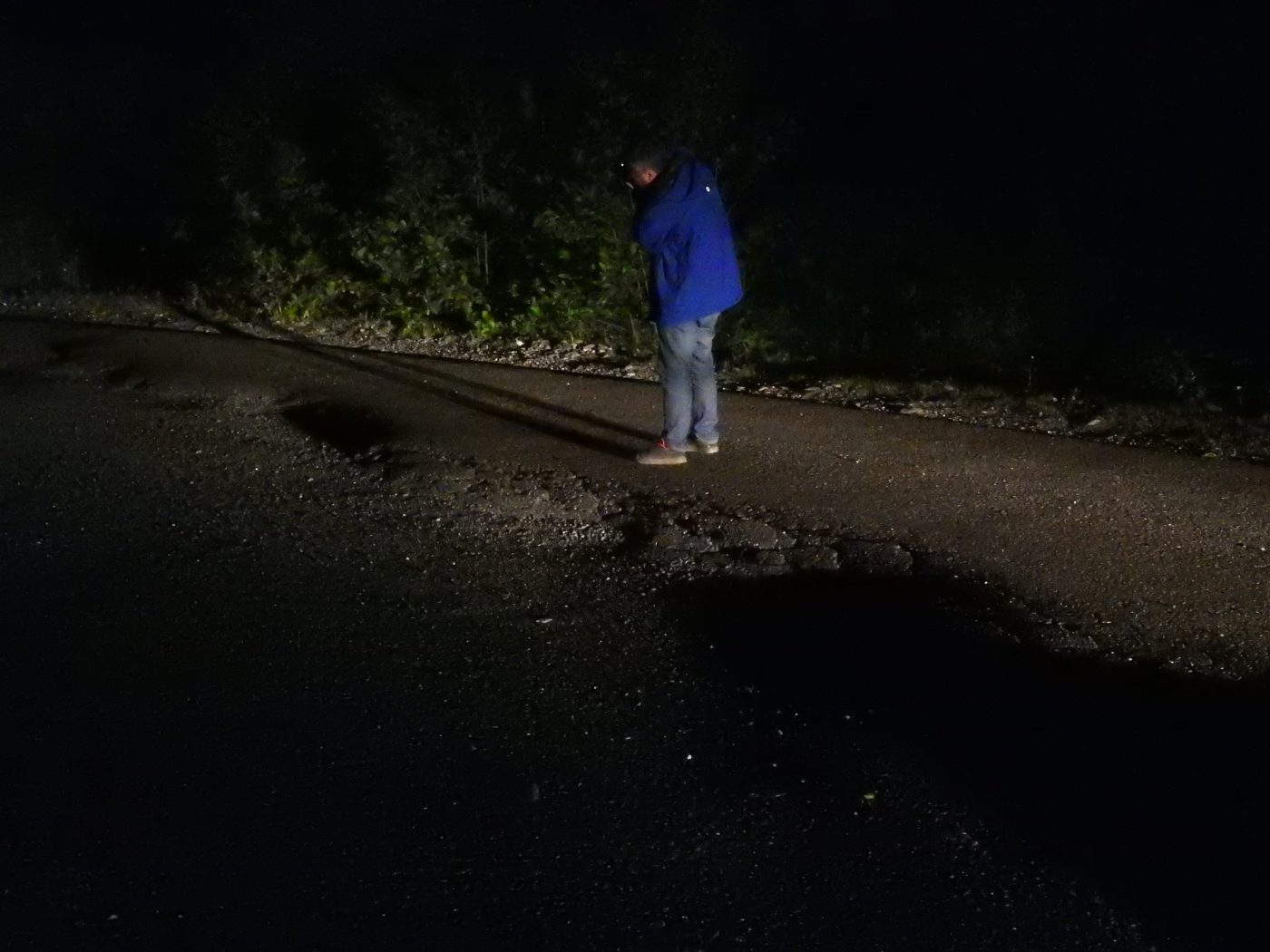
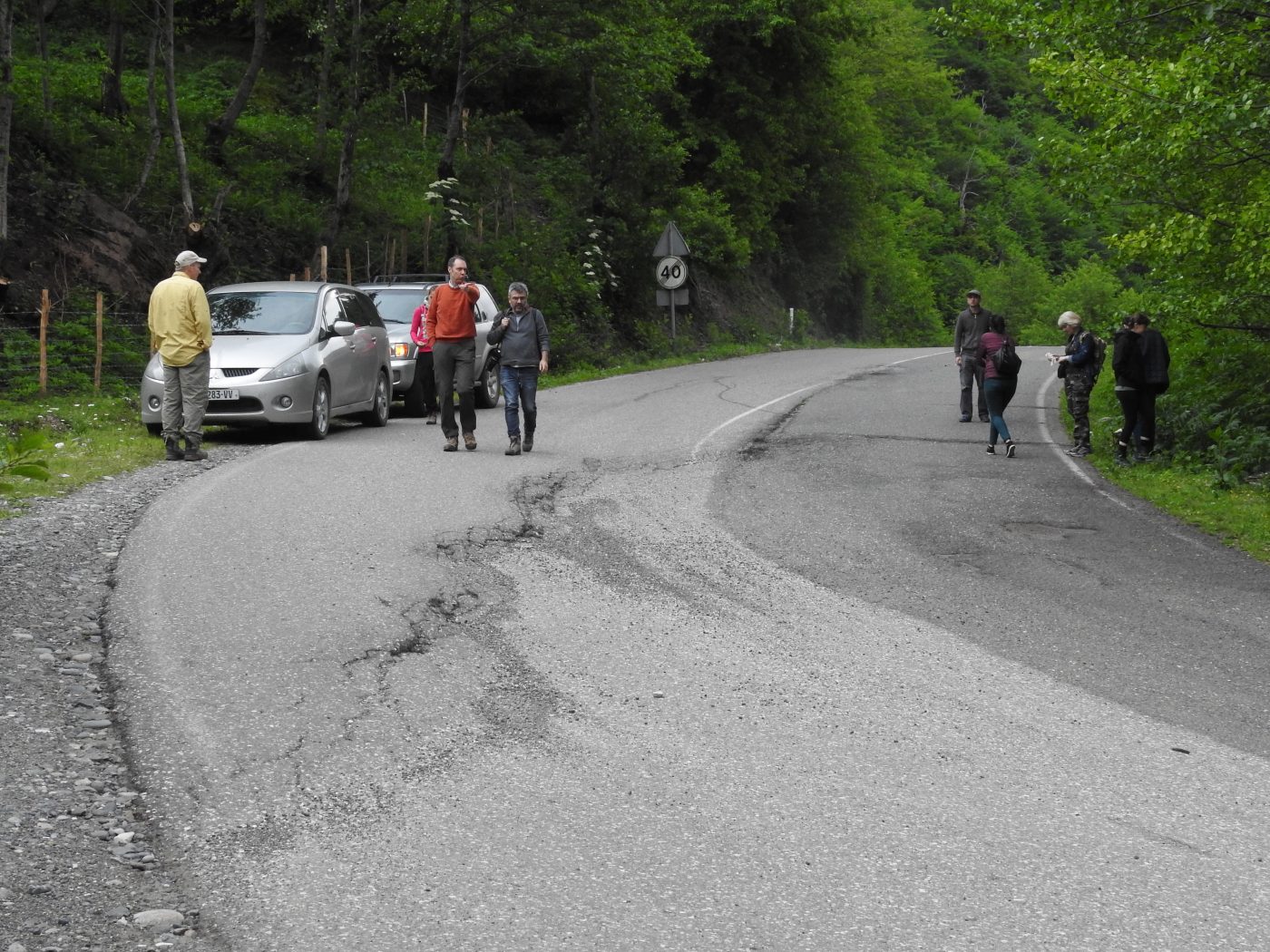
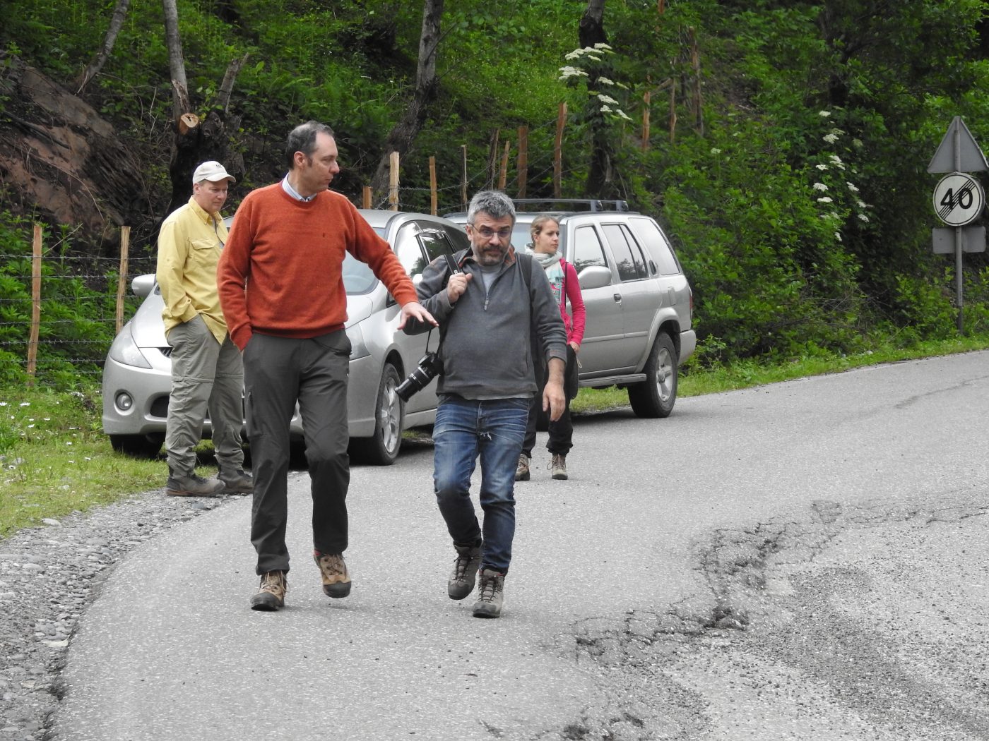
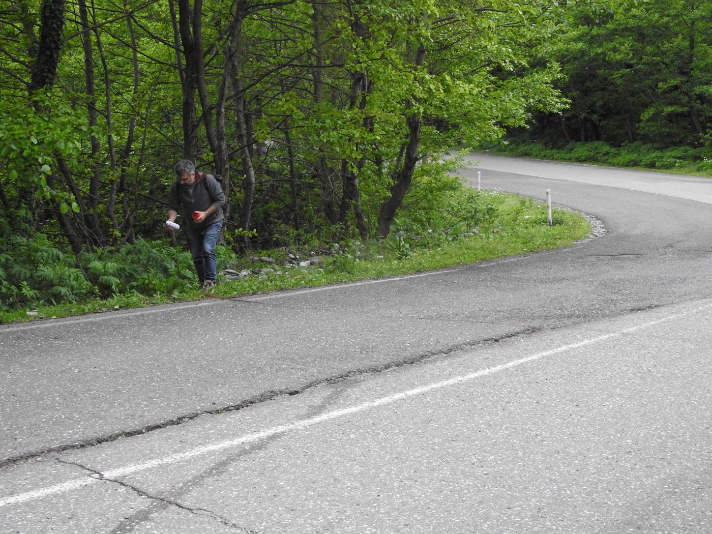
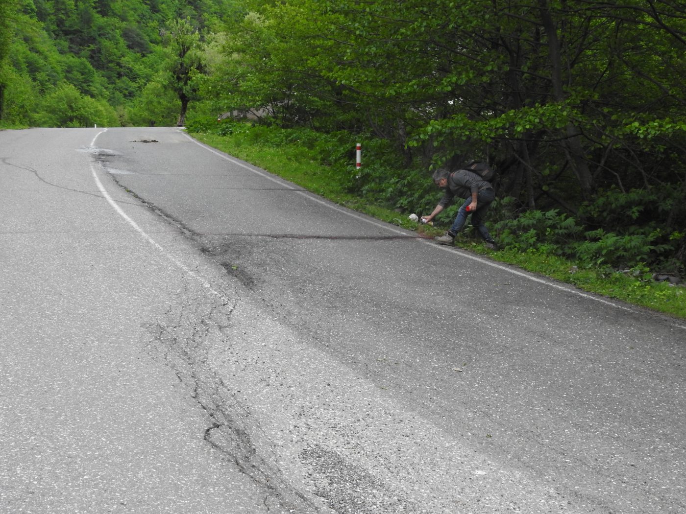
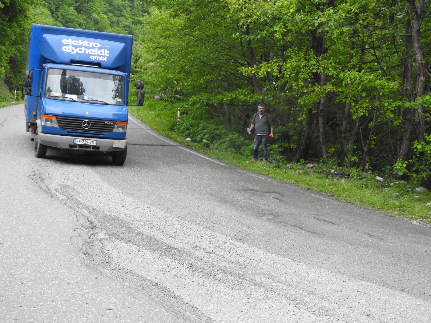
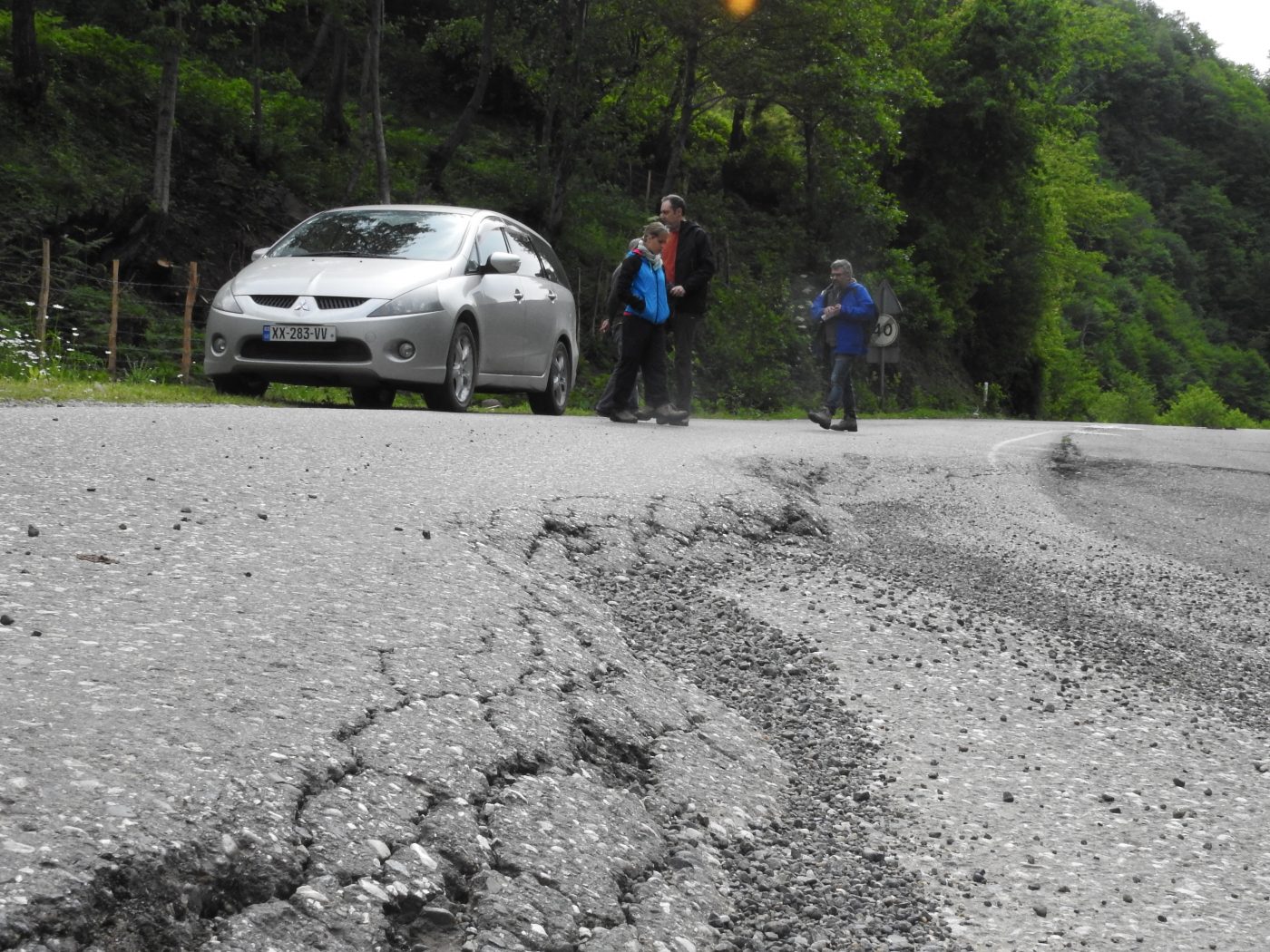
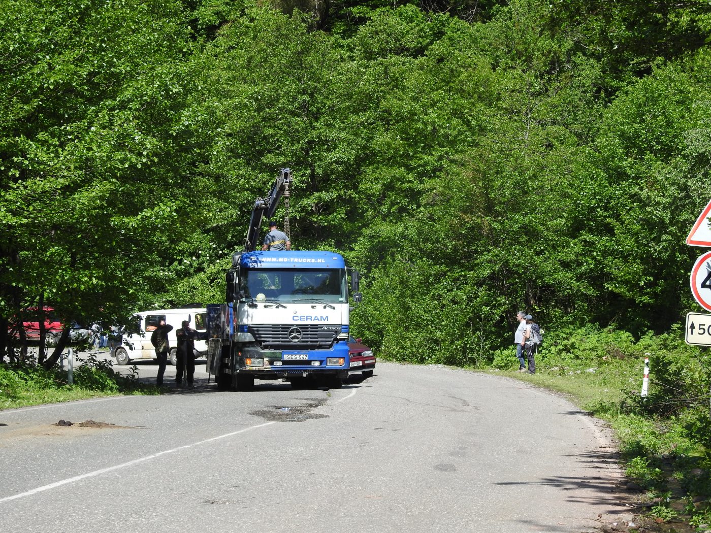
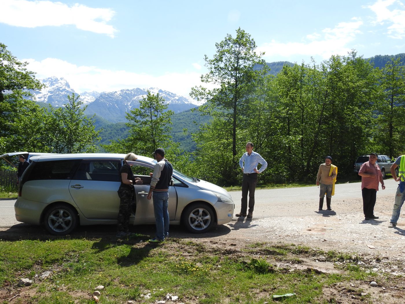
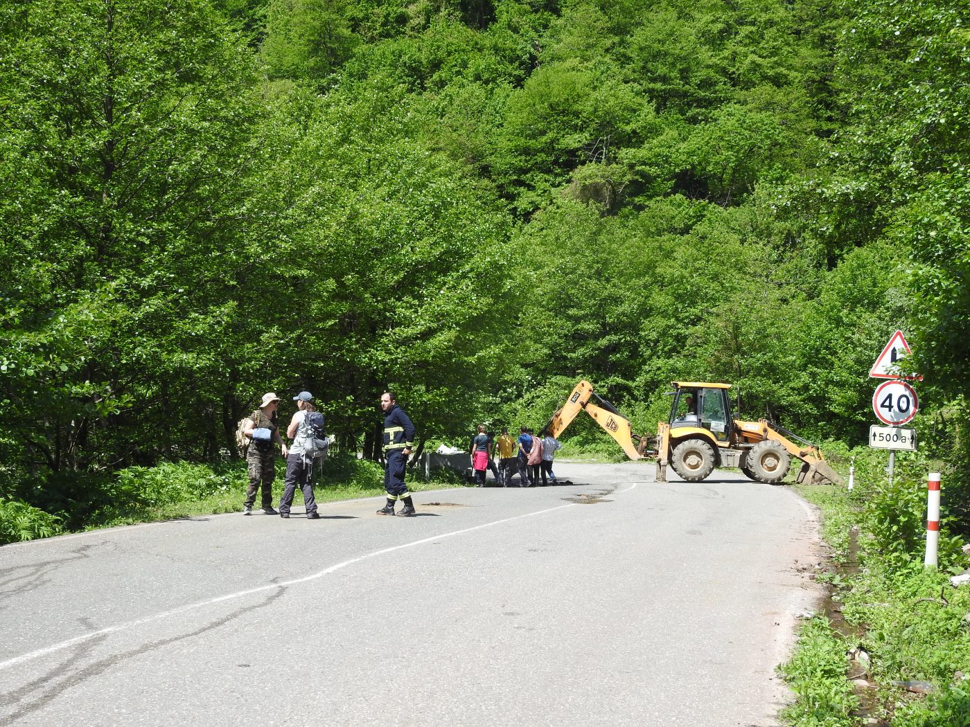
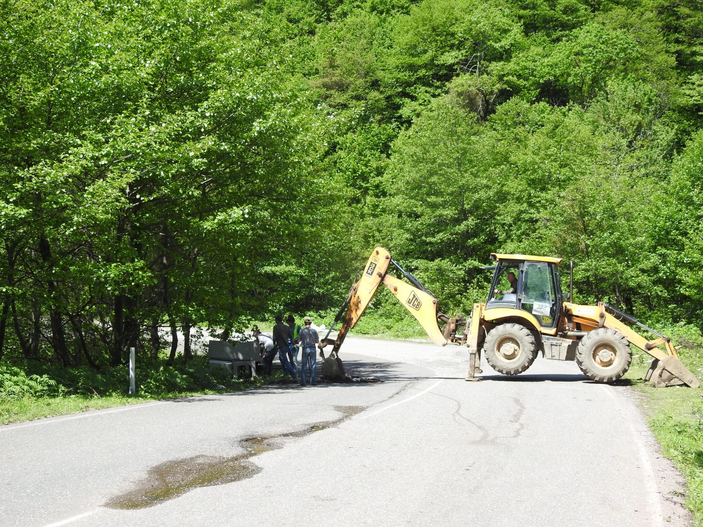
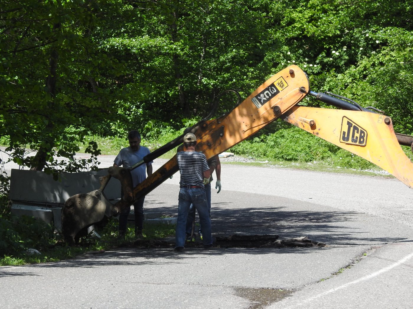
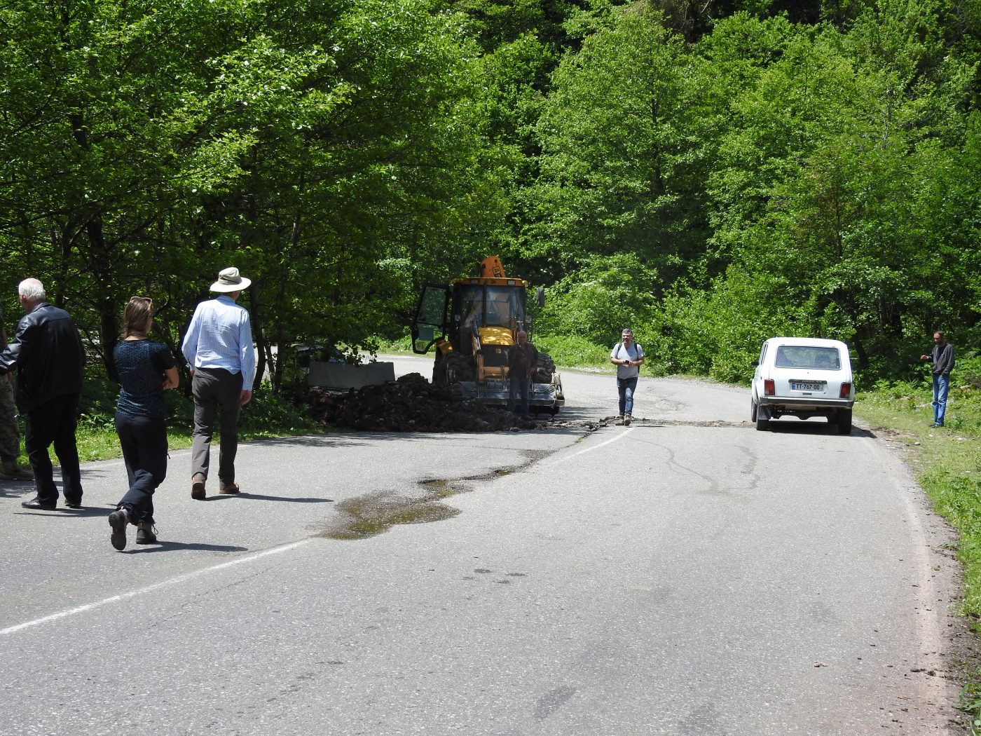
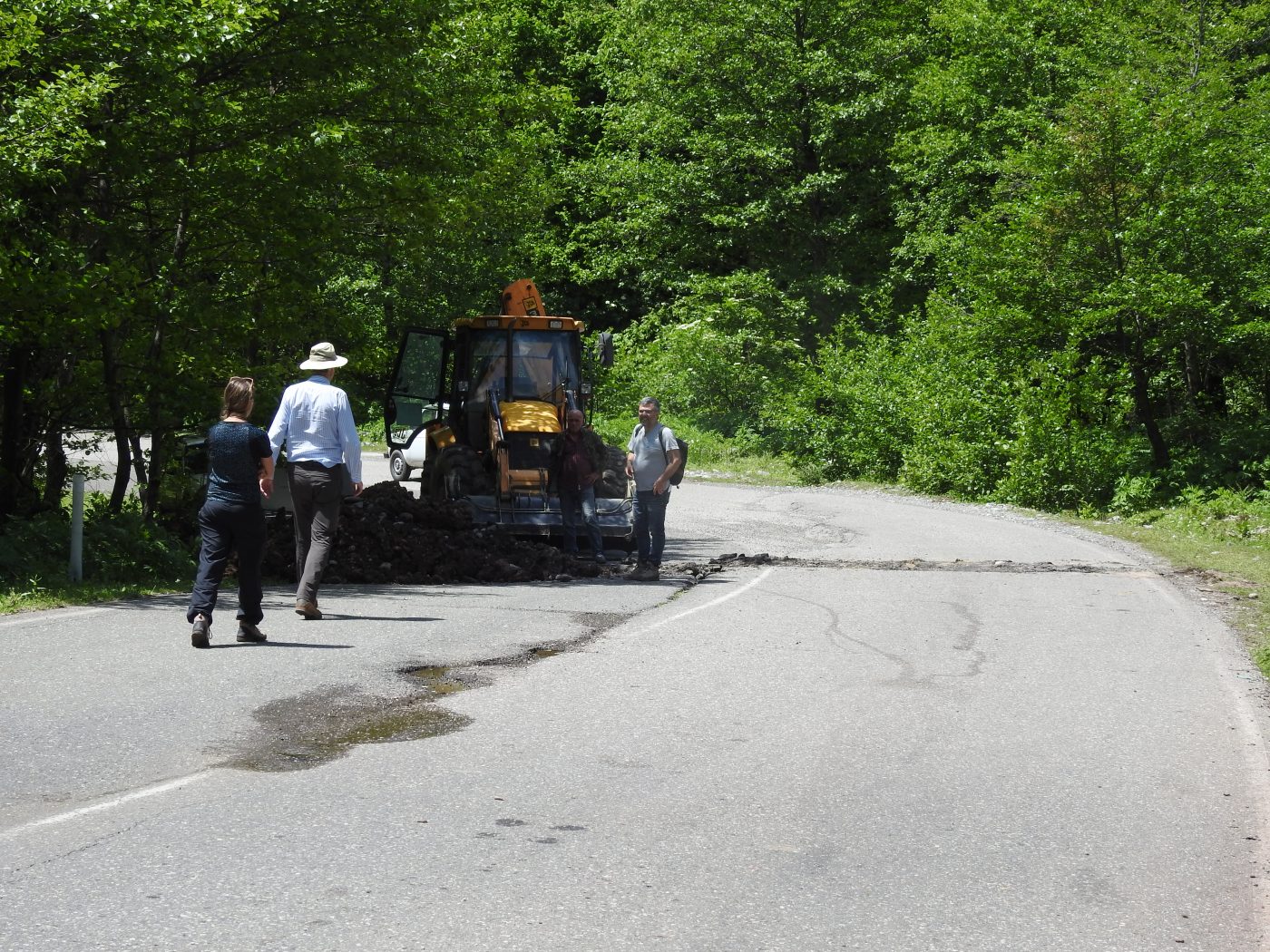
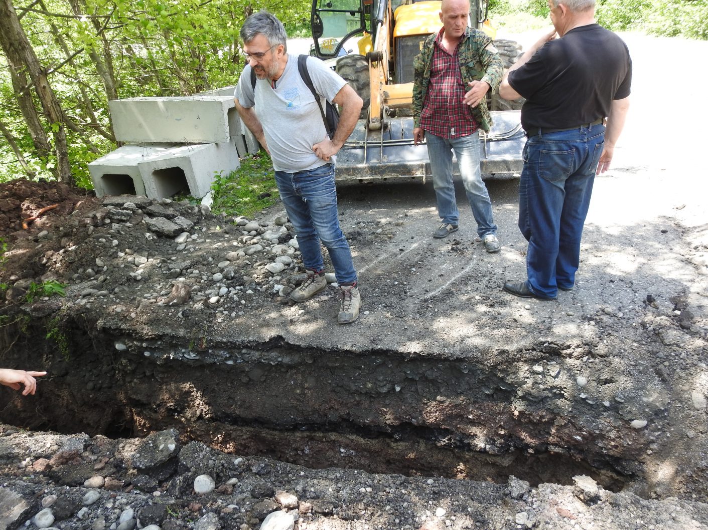
The mission will be mainly devoted to identifying and mapping landslides that represent a potential hazard affecting the Enguri reservoir lake.
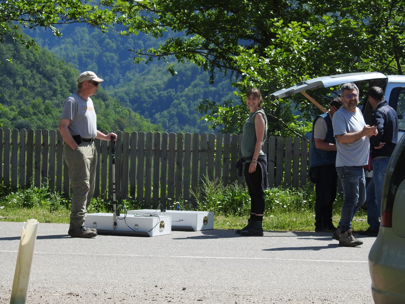
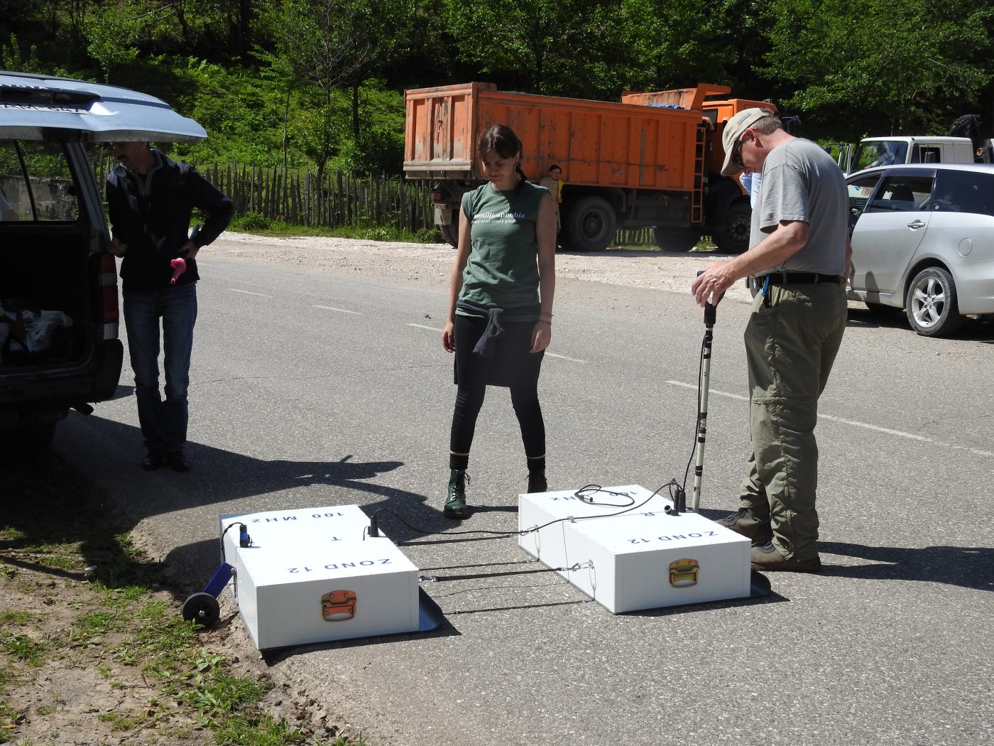
Major efforts will also be taken in carrying out georadar analyses and investigating active tectonic structures, which may play a substantial role in increasing the degree of geological risk in the area.

Iceland, September 2016
This summer school has been held in northern Iceland, near the town of Husavik, where astonishing geological structures and landforms are exposed, which were produced by recent and historical earthquakes. Young researchers from Georgia, USA, Italy and Kazakhstan were trained on the study of Holocene tectonic fissures linked to the active Iceland Rift, strike-slip faults associated with the Husavik-Flatey transform fault zone, as well as on Quaternary volcanic deposits and landslides.
Georgia, Enguri, November 2016
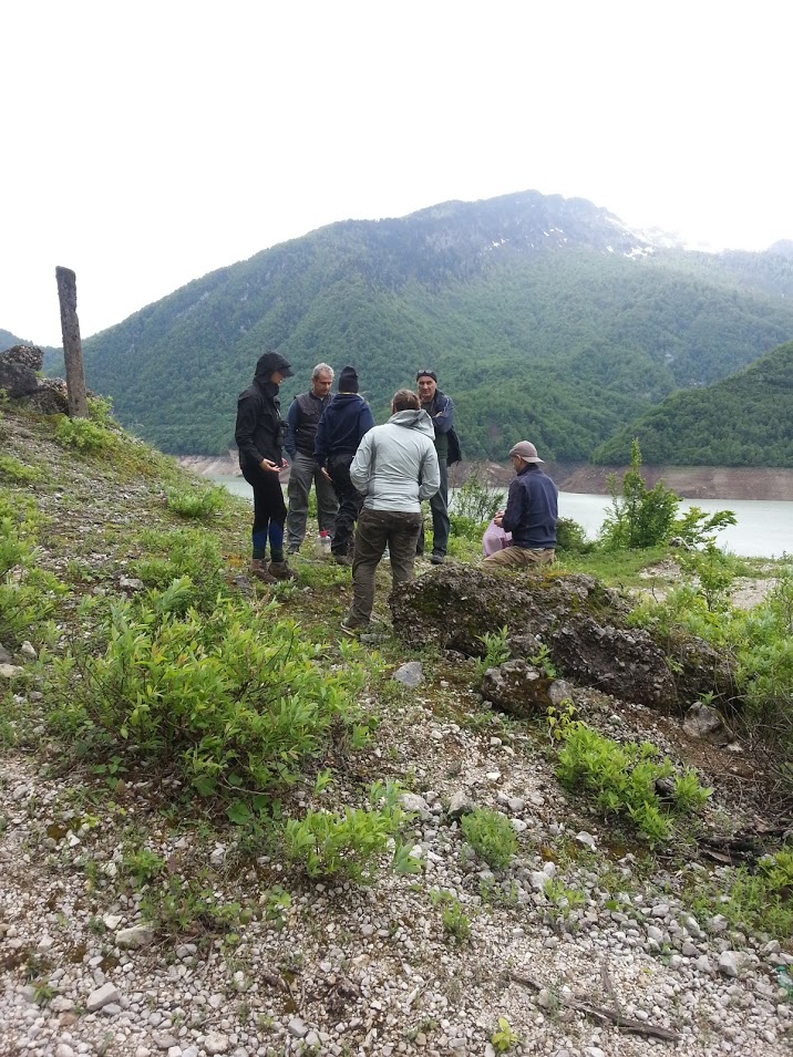
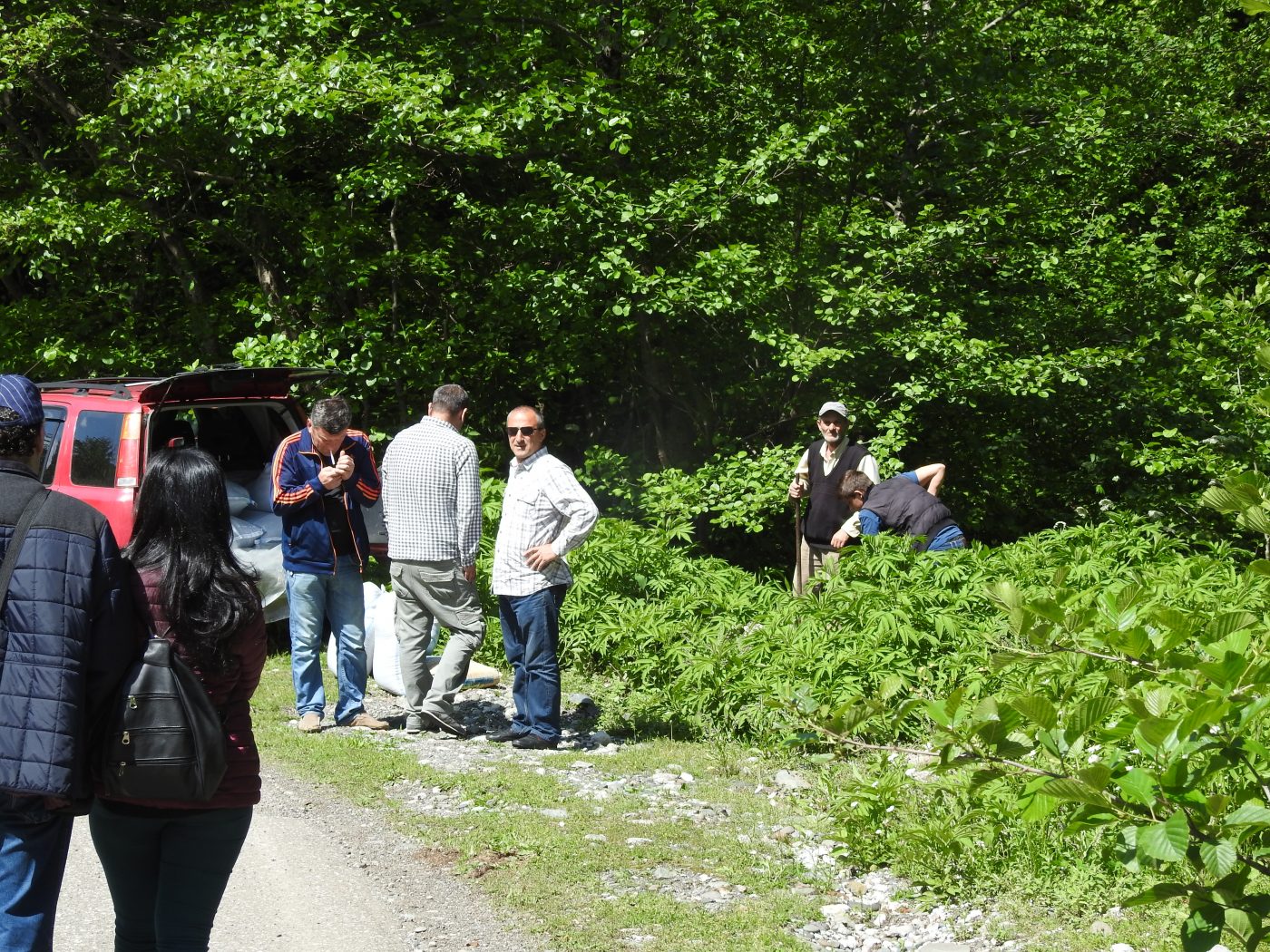
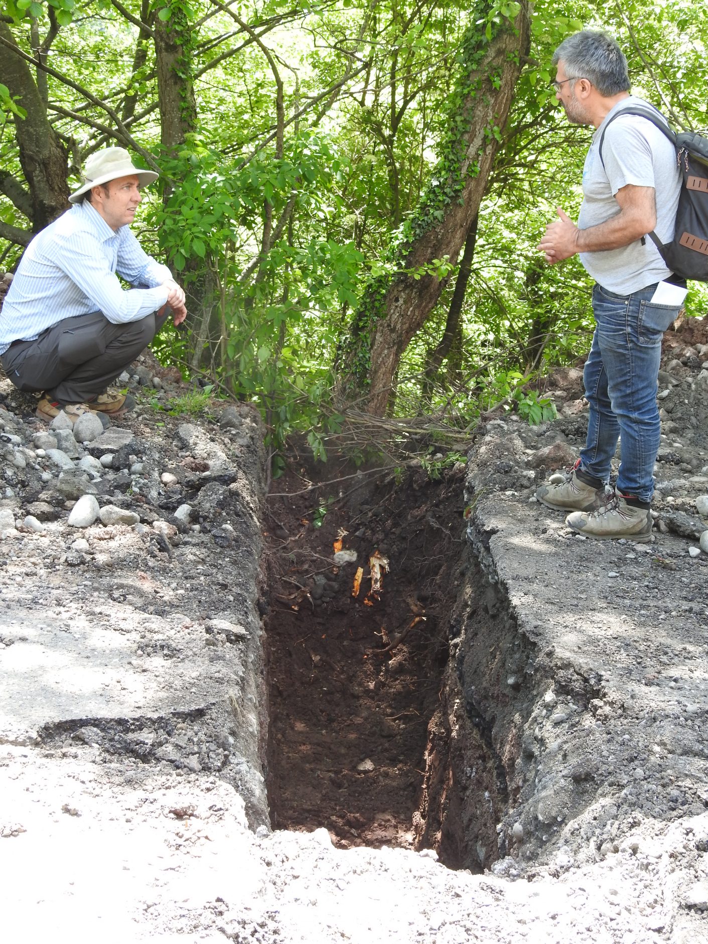
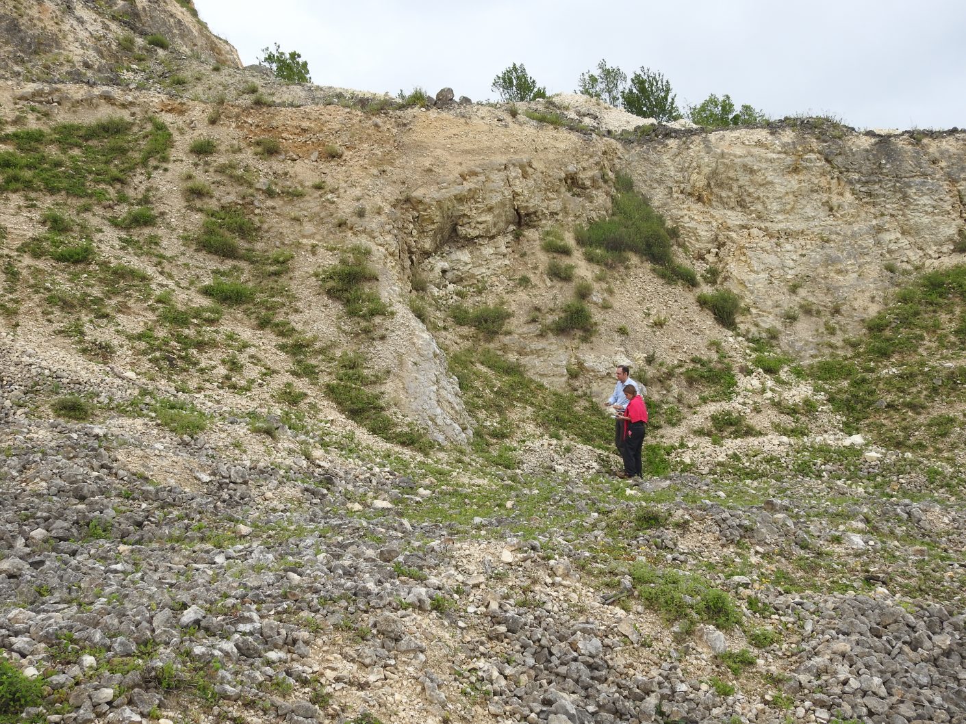
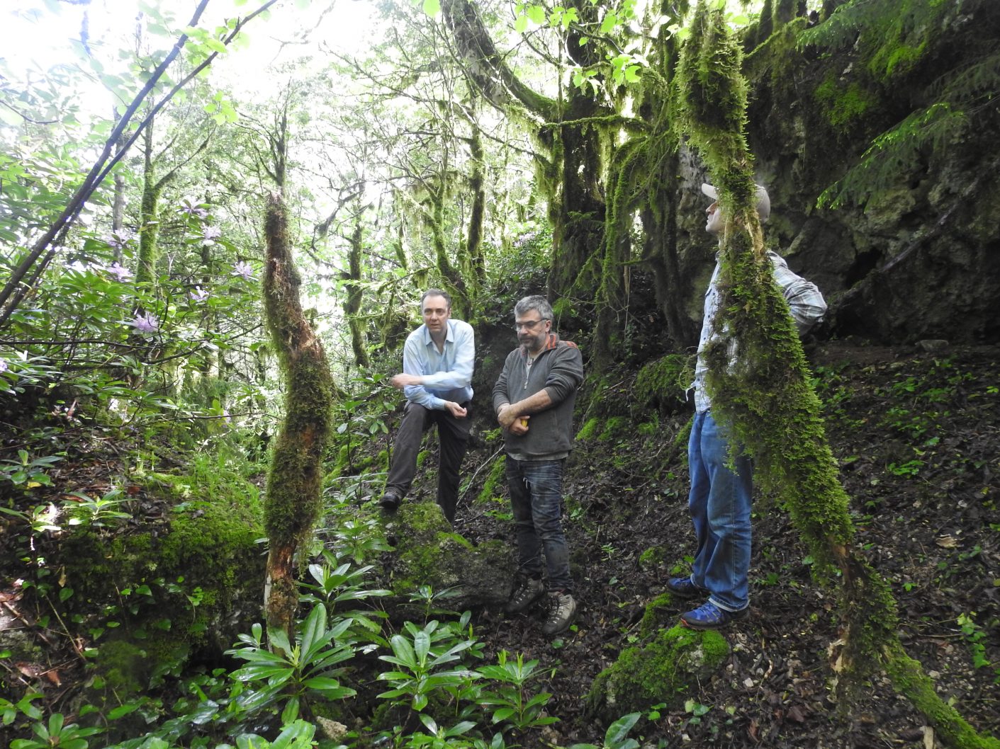
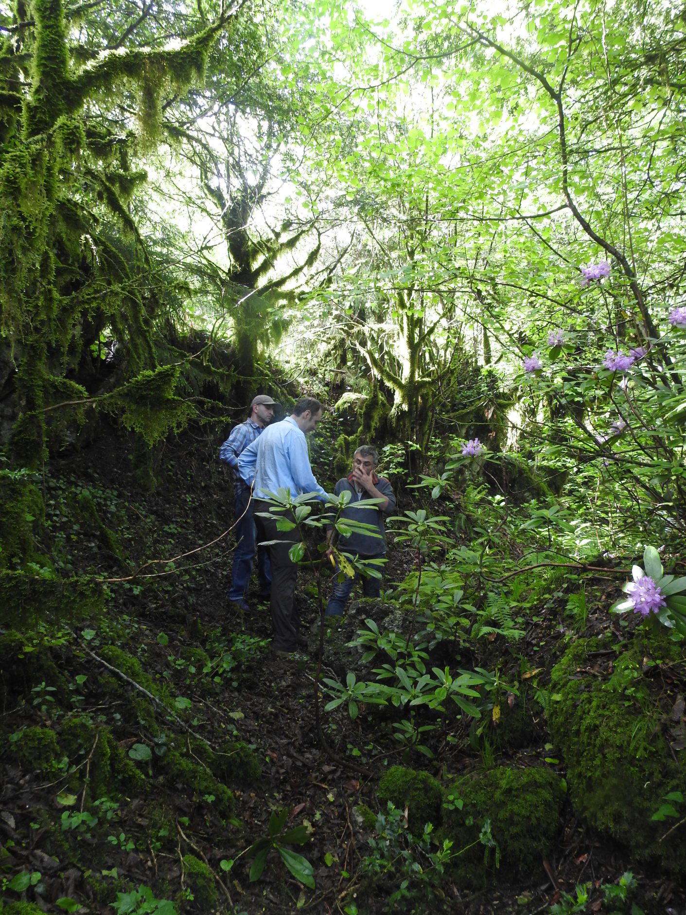
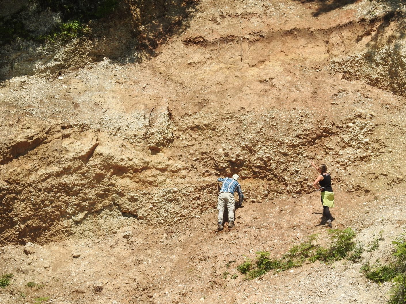
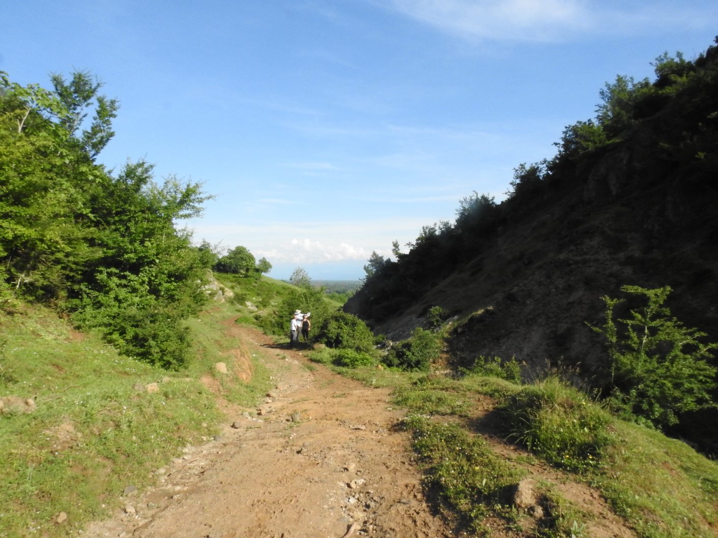
Training activities were carried out in the field when senior scientists from the various project teams illustrated to young researchers from Georgia, Kazakhstan, Azerbaijan, USA and Italy, how to search for and interpret the field evidence of active landslide movements and neotectonic data.
University of Milan Bicocca and Istituto di Geologia Ambientale e Geoingegneria – Consiglio Nazionale delle Ricerche, Italy, Winter 2016-17.
Young researchers from Georgia have been trained in laboratory methods for the study of active deformations, microzonation and seismic hazard assessment, and interpretation of geophysical data. They spent up to six months in the aforementioned institutes.
Georgia, Enguri, May 2017
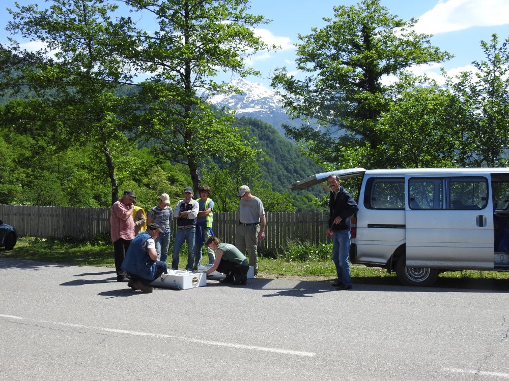
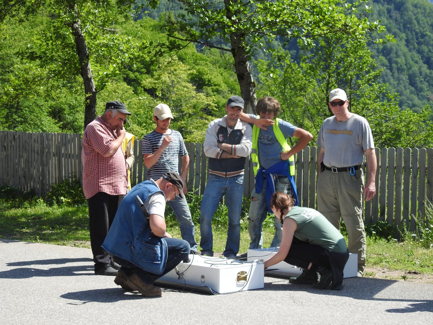
A training school on GPS measurements of active deformation has been carried out in the area of active landsliding above the Enguri reservoir (Georgia). This school saw the participation of young researchers from Georgia and Kazakhstan.
Georgia, Enguri, June 2018
A training school on GPS measurements of landslide motions has been carried out on the slope facing the Enguri reservoir (Georgia). This school saw the participation of young researchers from Georgia and Kazakhstan.
Technical manager (Web Master): information system area, web programming office.
Our project drew the attention of the Italian and Georgian media. One of the two main Italian press agencies (AGI) issued a series of press releases on the web. Several other media outlets published news stories following the official AGI press release.

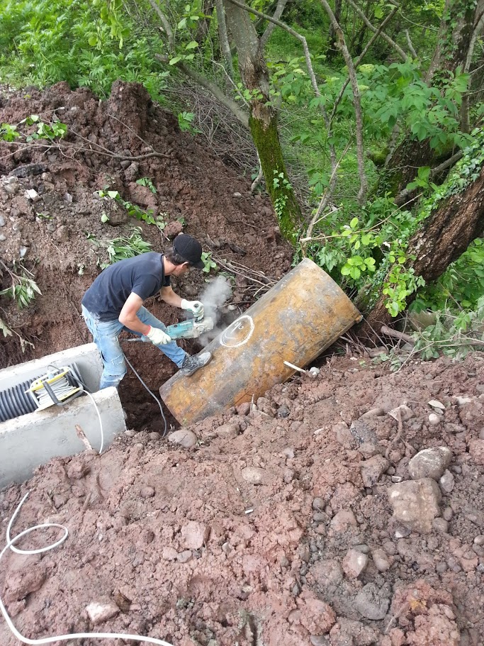
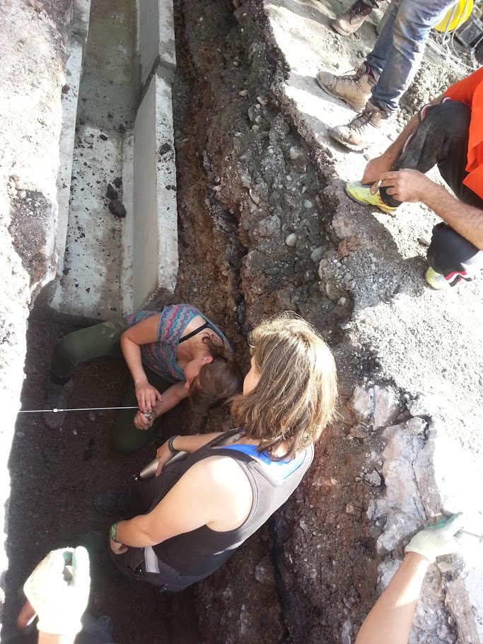
The third mission will be focused on landslide deformation measurements, landslide inventory, geomechanical characterisation of unstable slopes, and paleoseisimic measurements.
Schedule of the second NATO international mission to the Enguri Dam – NATO project G4934
May 12, transfer of US team (John Gierke and Maria D. Acciaro) and Georgian team (Geologists: Viktor Alania, Onise Enuqidze, Aleqander Gventcadze + Geomorphologist: Georg Gaprindashvili + Geophysicists: David Odilavadze, Nino Kvavadze, Zurab Gogoladze) from Tbilisi to the Enguri Dam = 1 car rented by John + 2 minibus of Georgia;
May 13-21, identification and mapping of landslides and geomechanical surveys (US and Georgian team), georadar analyses (first Georgian team), geological expedition to investigate active structures (second Georgian team), = 1 car of John + 2 minibus of Georgia;
May 17, transfer of the Italian-Swiss (Alessandro Tibaldi, Paolo Oppizzi, Fabio L. Bonali), Azerbaijan (Gulam Babayev, Nurama Novruzova), GPS Company, and Georgian (Nino Tsereteli) teams from Tbilisi to Enguri = 1 car rented by Alessandro + 1 car of GPS Company;
May 18-21, geological and structural field survey (Italian team), set-up of monitoring system (Swiss team), and GPS bench marks construction (GPS Company + Italian-Swiss team) = 1 car of Alessandro + 1 car of GPS Company;
May 22, return trip from Enguri to Tbilisi (Azerbaijan, US, Swiss, Italian and Georgian teams) = 1 car of John + 1 car of Alessandro + 2 minibus of Georgia + 1 car GPS Company;
June 1, arrival of the Kazakhstan team in Tbilisi;
June 2, transfer of the GPS Company and the Kazakh team from Tbilisi to the Enguri Dam = 1 car of GPS Company;
June 3-5, training and GPS measurements = 1 car GPS Company;
June 6, return trip from Enguri to Tbilisi of the Kazakh team and the GPS Company = 1 car GPS Company;
June 7, travel back home of the Kazakh team.

Schedule of the first mission (November 3-8, 2015) – NATO project G4934
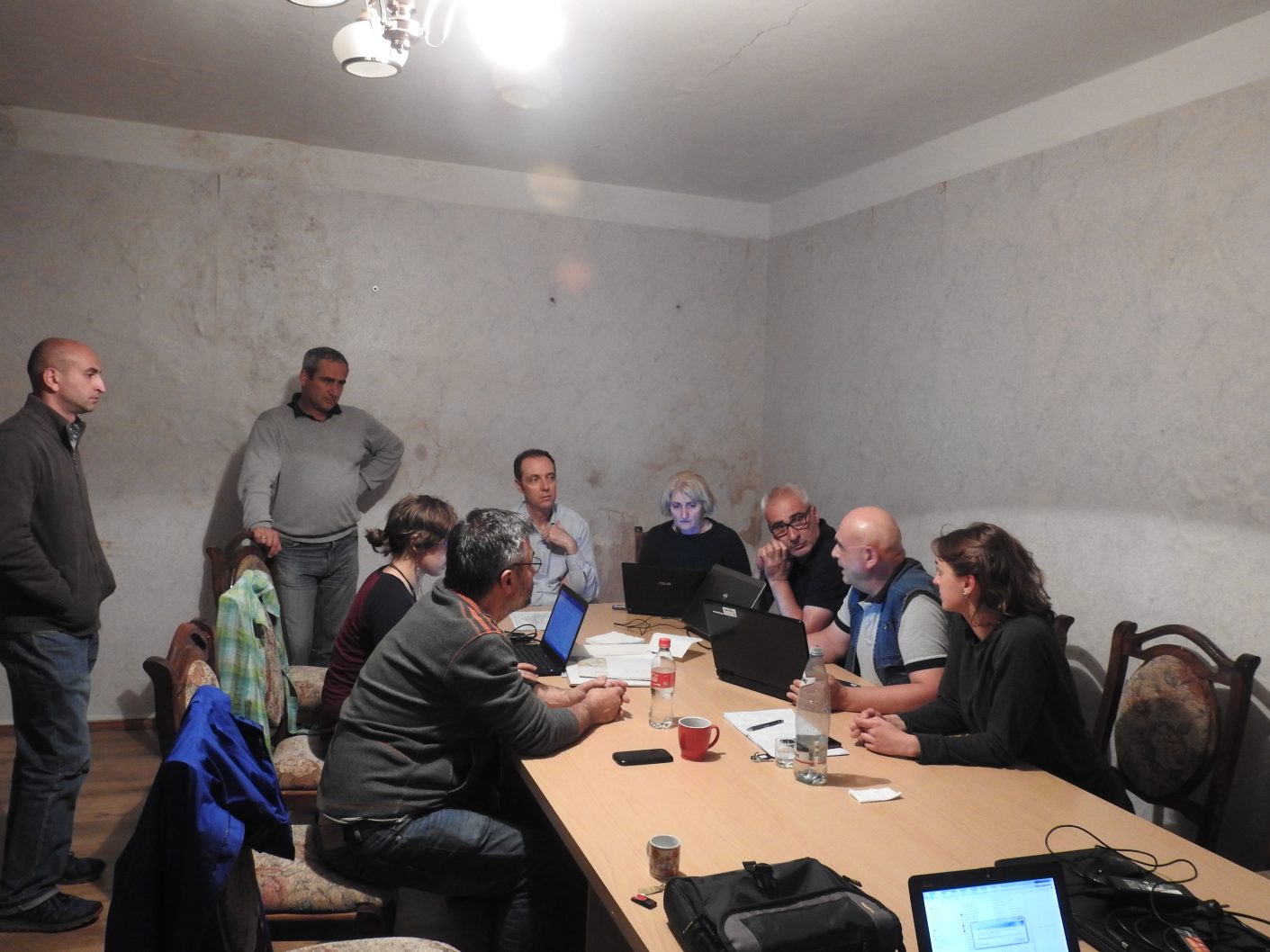
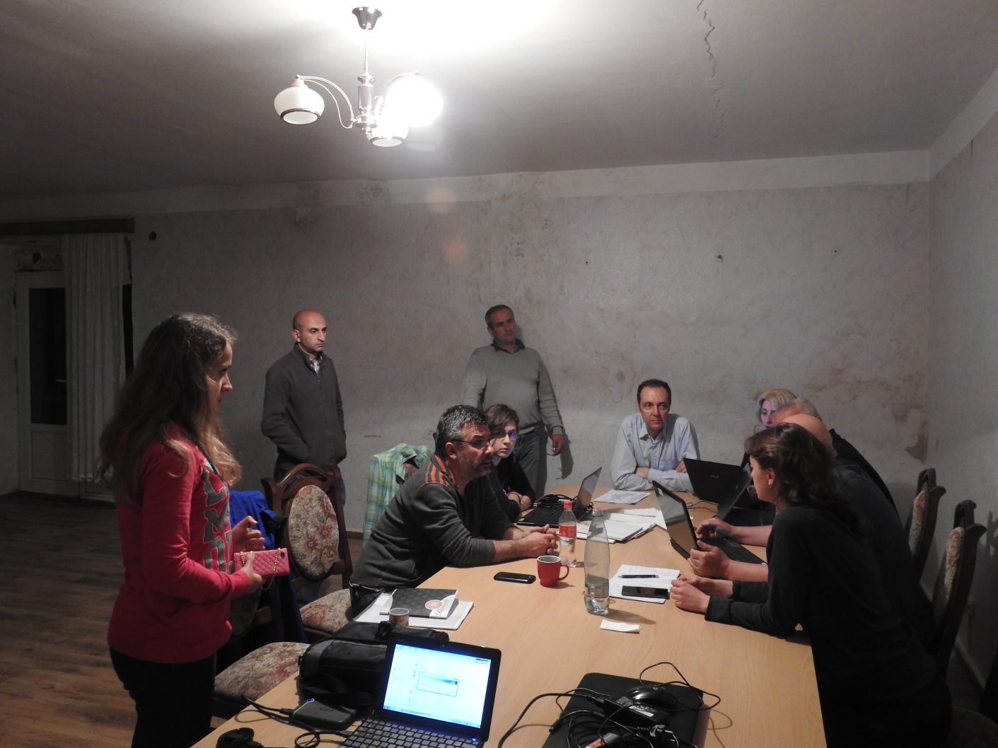
November 3 – Kickoff meeting
Nodia Institute of Geophysics, Ivane Javakhishvili Tbilisi State University, Alexsidze st.1, Tbilisi, Georgia.
November 4 – Field survey
9:30 Travel to the dam site (about 370 km, about 5 hours).
In the afternoon, general overview of the geomorphological and geological features of the dam site.
November 5 – Field survey
9:30 Trip around the water reservoir aimed at observing slope geomorphology, rock outcrops, geology, etc..
November 6 – Field survey
9:30 Two working groups:
– the first will start collecting field data aimed at slope stability assessment;
– the second will trace recent/active faults near the dam/reservoir, and will start evaluating the feasibility of paleoseismological trenching at the site.
November 7 – Field survey
9:30-14:00 The two groups will go on collecting data for slope stability assessment and along recent/active faults.
14:00 Back to Tbilisi.
November 8 – Wrap-up meeting
9:30-16:00 General discussion centered on future plans based on the outcomes of preliminary field work.
16:00 Ending of the meeting
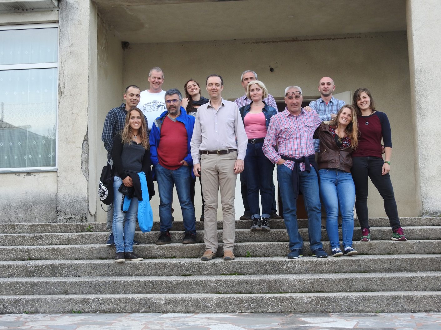
List of participants
Alessandro Tibaldi (IT), Nino Tsereteli (GE), John Gierke (USA), Derek Rust (UK), Fabio Luca Bonali (IT), Federico Pasquarè Mariotto (IT), Paolo Oppizzi (CH), Gulam Babayev (AZ), Aigul Sultanbekova (KZ), Andrey Krivchenko (KZ), Viktor Alania (GE), Onise Enukidze (GE), Otar Varazanashvili (GE), Sergo Gogmachadze (GE), David Odilavadze (GE), Emili Tsereteli (GE) and Vakhtang Arabidze (GE).